By late November, most of the west shore has closed for the year. The Lake Almanor West news page lists the pro shop, the golf course and the Almanor West Grill as closed for the season. At Canyon Dam, Plumas Pines Bar & Grill says it is closed for the 2026 season and will see diners in spring 2027. The Forest Service sites along Highway 89 run on summer calendars too. Almanor Beach's general season is June through September. The Almanor campgrounds generally run Memorial Day to Labor Day, and the Almanor Picnic area stays open from mid-May through November, conditions permitting.
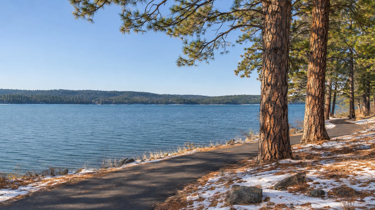
One west shore door stays open. The Dyer View trailhead on the Lake Almanor Recreation Trail can be reached year-round, and the trail it opens onto is listed as open in every season: hiking and biking in summer, snowshoeing in winter. For anyone living in Lake Almanor West or Prattville, that makes 11 paved miles of shoreline the main thing still running on the west side of the lake from now until spring.
Dyer View is the winter trailhead
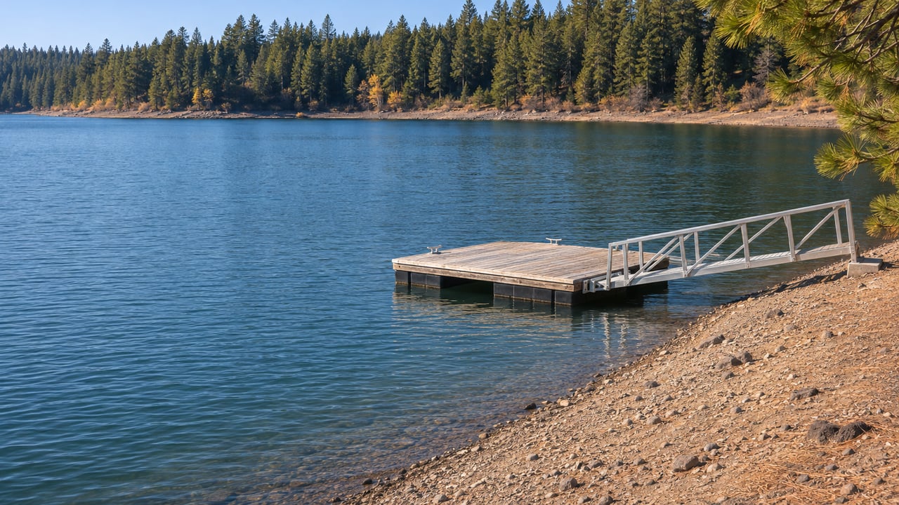
The trail runs about 11 miles along the west shore and links Almanor, Lake Almanor West and Prattville. It has three main access points. Visit Plumas puts the southern one at the Canyon Dam Boat Launch, near the Rocky Point PG&E campground. The northern one sits a short way down an unpaved road that runs northeast from Highway 89, across from the Humbug Road turnoff and before the archery range. Neither end suits a December walk especially well. The Almanor Boat Launch generally runs June to October, and Rocky Point's listed season is June through October.
Dyer View is in the middle. Visit Plumas recommends it as the starting point for anyone not walking the whole trail, because it is reachable year-round and has paved parking, a restroom and picnic tables. There is no drinking water, so bring your own. From the lot you can go north or south, and much of the trail near Dyer View follows the shoreline closely. The Lassen National Forest page, updated September 1, 2026, describes Dyer View as day use only from 6 a.m. to 10 p.m., with limited paved parking and a vault toilet.
In the short days of December and January, daylight runs out well before the day-use window does, so a walk after work turns into a midday walk.
What the trail is like once the crowds leave
The trail was finished around 2006 and was first called the Almanor Lakeside Trail, according to the Plumas Sun's May 2026 trail feature. It is still the only finished recreation trail in the Lake Almanor Basin itself. Visit Plumas describes paved, rolling terrain with 1,085 feet of total elevation gain and rough, uneven patches in places. Twenty years of use show. The same Plumas Sun piece reported yellow "caution rough trail conditions" signs at some trailheads, and fallen trees across the northernmost mile, which burned in the 2021 Dixie Fire. At the August 3, 2026 meeting of the Plumas County Coordinating Council, Lassen National Forest reported that Lake Almanor Trail repairs were "completed to the capacity of the allotted budget."
Rough pavement matters less on foot than on two wheels, which suits a season when most trips here are walks. Dogs on leash are welcome, so the trail works as a winter dog walk too.
The Forest Service describes views of Lake Almanor, Dyer Mountain and Lassen Peak from the route. It also asks visitors to watch for remaining fire impacts, hazards and debris, which matters more after a windy night. The Plumas Sun noted many Forest Service interpretive signs and maps along the way, so a short walk out from Dyer View still gives you something to stop and read.
When snow covers the pavement
Visit Plumas lists the trail for snowshoeing in winter. Its cross-country ski and snowshoe guide, published November 13, 2026, notes that the trail is not groomed on a regular schedule. Any track you find after a storm was broken by whoever got there first. For anyone in Lake Almanor West or Prattville, that makes a snowshoe route along the water a short drive from home rather than a trip up the mountain.
Snow can also cut off the way in. The Forest Service says Dyer View is generally open year-round but may be inaccessible because of snow and weather, so a trailhead that is easy to reach on a clear morning may be blocked after a big storm.
The eagles are a winter feature
On this trail, winter brings a better chance of seeing the lake's most famous birds. Plumas County's wildlife-viewing guide says Lake Almanor hosts the county's largest population of wintering bald eagles and osprey. The trail listing adds that it is common to see an osprey or bald eagle catching a fish in the lake. The Forest Service also lists goshawks among the birds you might see along the route. With the shoreline this close and the summer boat traffic gone, the stretches near Dyer View are good for scanning snags and open water with binoculars.
For residents who want to count birds as well as watch them, Plumas Audubon holds an annual Lake Almanor Christmas Bird Count. It is a one-day census of every bird found within a circle 15 miles across, and it covers all species, not only eagles. The Audubon calendar says the Lake Almanor count happens every December. Last year it was Thursday, December 18. The count page names Colin Dillingham as the contact for Lake Almanor volunteers.
Winter also brings fishing from shore. In late February 2025, the Plumas Sun's fishing report described anglers fishing the west shore coves from the bank as fish moved into the shallows. The same report said the Canyon Dam ramp was open and usable then. The only ice it mentioned was thin surface ice that formed and melted in the sun.
The north end is a work zone into 2027
North of Lake Almanor West, the trail is getting longer. Caltrans is building a 3.8-mile paved Class I path from the mouth of the big ditch diversion channel near Chester south to the existing Forest Service trail, which currently ends near Lake Almanor West. The new path is separated from Highway 89 by a vegetated buffer at least 75 feet wide and up to 100 feet along many stretches. The plans call for gravel parking areas, benches and signs, and the extension is meant for snowshoeing and cross-country skiing in winter as well as walking and biking.
The trail is part of the Caltrans Almanor West Rehab Project, and Chester contractor Dig It Construction has been building it since spring 2025. Caltrans' September 4, 2026 update, published by the Plumas Sun, projects that construction on the Highway 89 project, path included, will finish in 2027, pending weather. This winter, Dyer View is a better starting point than the Humbug Road end.
The extension is one of 16 trail segments in the 2020 Lassen/Lake Almanor Basin Regional Trails System Concept Plan, written by the Almanor Basin Trails Coalition. That plan grew out of the long-held "Trails Around the Lake" idea. When it is done, Lake Almanor West will sit on a continuous paved route that runs from Canyon Dam to the edge of Chester, the town whose own trail plans we covered in Chester's Bike Trail Almost Reaches Main Street.
If the west shore is your home or your second home, our fall guide to what stays open around Prattville and Lake Almanor West picks up where the trail leaves off. The team at Berkshire Hathaway HomeServices Lake Almanor Real Estate is always glad to talk about the west shore, from the best winter walks out of Dyer View to how the new path will change the north end of Lake Almanor West and Prattville.